Mt Nebo – Mt Glorious 2.03



5/5,
4
votes
Mt Nebo – Mt Glorious
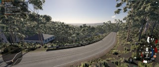
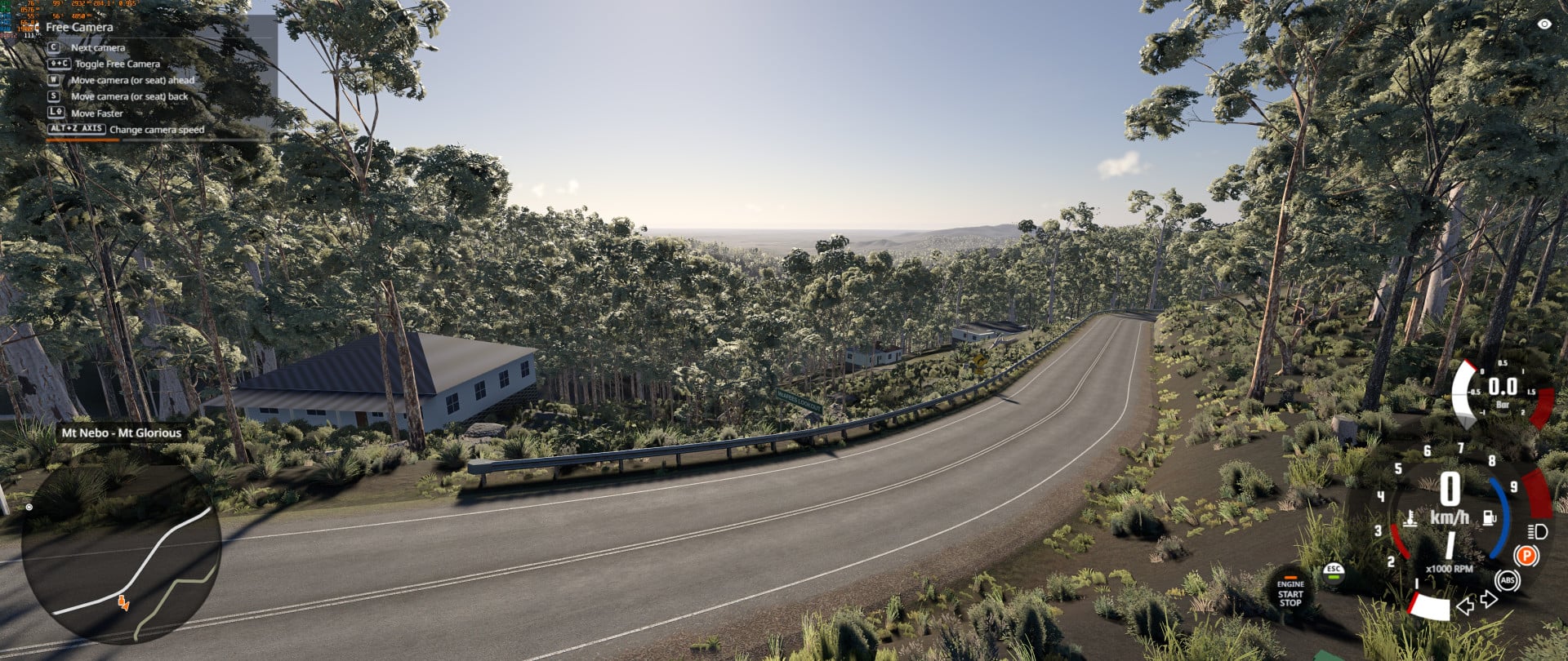
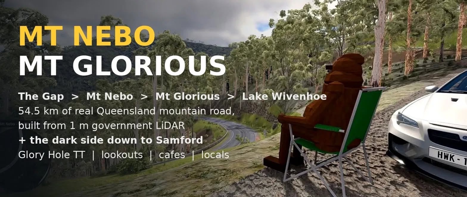
The mountain drive west of Brisbane, built from real survey data.
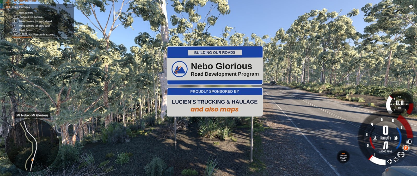
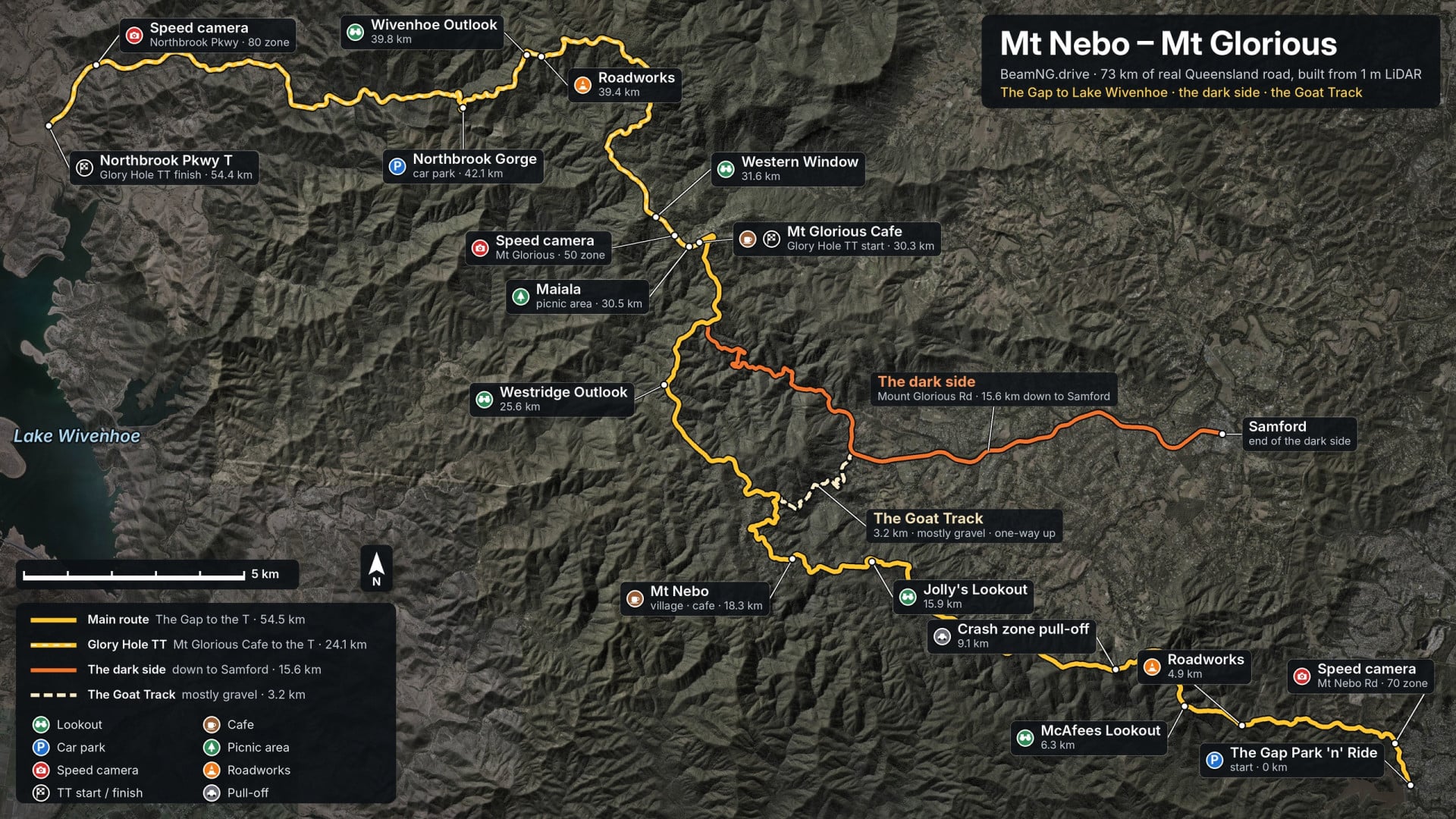
The full Mt Nebo / Mt Glorious tourist drive, Queensland's favourite Sunday run. It's 54.5 km from The Gap Park 'n' Ride up over Mt Nebo and Mt Glorious, then down Northbrook Parkway to the T-junction with Wivenhoe–Somerset Rd at Lake Wivenhoe. On top of that there's the dark side, Mount Glorious Rd down to Samford (15.6 km), and the Goat Track, 3.2 km of gravel from the dark side up to Mt Nebo.
The road follows Queensland Government 1 m LiDAR, so every crest, camber, dip and hairpin is where it really is. The rest is built from aerial imagery and OpenStreetMap.
Drive
This map is only published here on the BeamNG repository, by me (lucienstruckingandhaulage). Copies on other sites were re-uploaded without my permission and may be out of date or broken.
Please don't re-upload, repack or sell it, and don't put the map or any part of it (the road, terrain, buildings, signs or textures) into your own mod without asking me first. If I say yes, credit this map. The assets credited to B25Mitch below are his, so ask him about those.
Making your own map? Ask me anything about how this one was built. I'm happy to help you get yours looking good, just don't take mine.
Credits
Road, terrain and towns built from Queensland Government LiDAR and aerial imagery and OpenStreetMap data (© OpenStreetMap contributors). Lots of assets from B25Mitch's OG Brisbane mountain maps.
Found something off? Send me a message! I want you to have the best experience :]
The mountain drive west of Brisbane, built from real survey data.
The full Mt Nebo / Mt Glorious tourist drive, Queensland's favourite Sunday run. It's 54.5 km from The Gap Park 'n' Ride up over Mt Nebo and Mt Glorious, then down Northbrook Parkway to the T-junction with Wivenhoe–Somerset Rd at Lake Wivenhoe. On top of that there's the dark side, Mount Glorious Rd down to Samford (15.6 km), and the Goat Track, 3.2 km of gravel from the dark side up to Mt Nebo.
The road follows Queensland Government 1 m LiDAR, so every crest, camber, dip and hairpin is where it really is. The rest is built from aerial imagery and OpenStreetMap.
Drive
- Over 70 km of road: two-lane mountain road with guardrails, guide posts, chevrons and curve signs, the dark side, the Goat Track and Mt Nebo's town streets.
- Sixteen bridges over the gullies and Northbrook Creek, and both Y-splits on their real levels.
- Four time trials: the Glory Hole TT (Mt Glorious Café down to the T), the Nebo Climb, the Dark Side Climb and the Goat Track Hillclimb.
- Bus route 385, The Gap ⇄ Mt Nebo, a full bus mission with scores and a leaderboard.
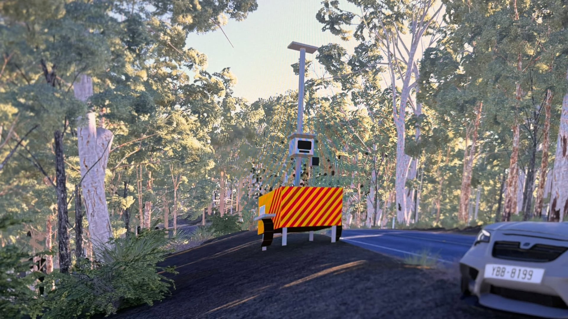
- Traffic that keeps to the posted limits, and speed cameras. Behave.
- 18 spawn points, from The Gap Park 'n' Ride to Samford, the lookouts, the Goat Track and Northbrook Gorge.
- Walkable lookouts with car parks for meets: Wivenhoe Outlook, Western Window, Westridge Outlook's boardwalk, Jolly's Lookout and McAfees Lookout.
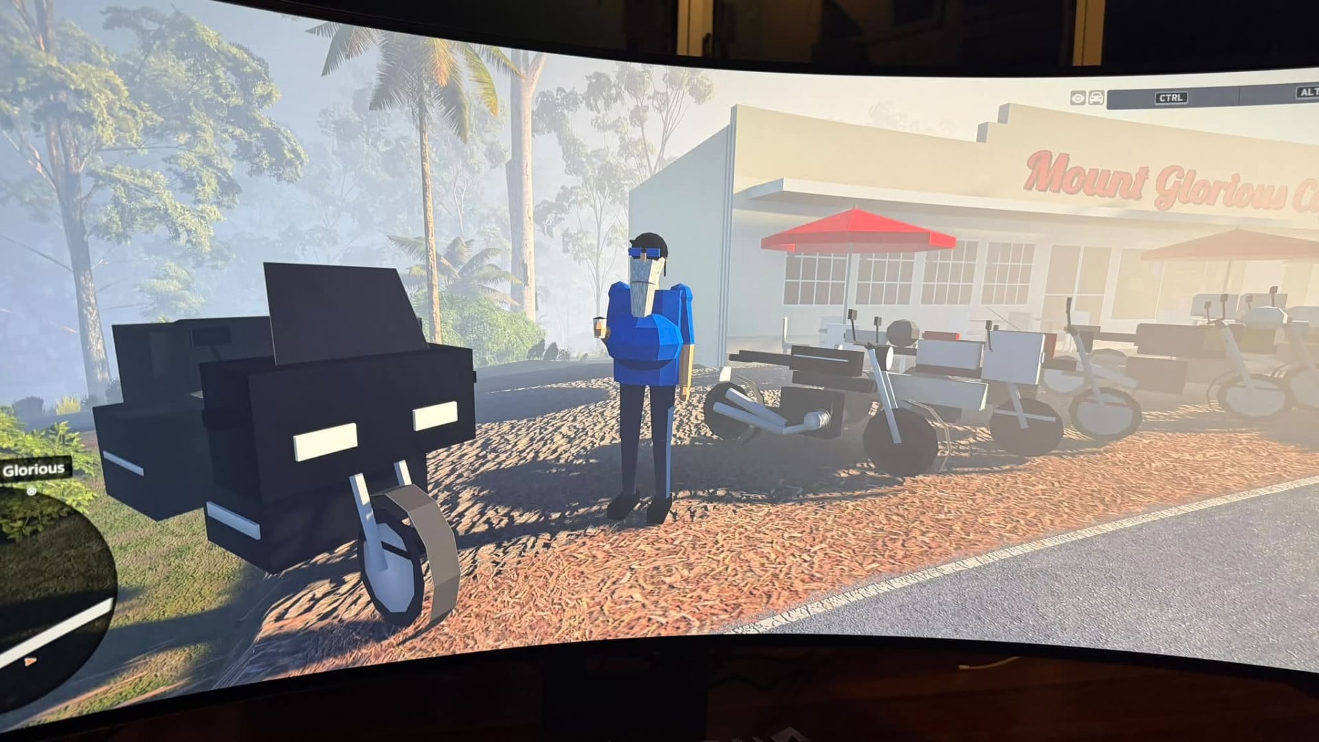
- Mt Nebo village and Mt Glorious: the cafés, the tea rooms, the post office and hundreds of houses shaped from their real roofs.
- The Gap Park 'n' Ride and bus interchange, SASSY'S BURGERS, Enoggera Dam and its spillway, and Lake Wivenhoe.
- Northbrook Gorge car park, and a zebra crossing across the road from it. Worth a look.
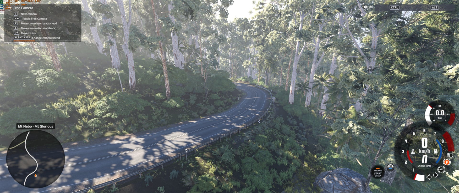
- Subtropical rainforest and eucalypt forest, with grass and undergrowth right to the road's edge, and the sound of the forest.
- Misty mornings on the range, with damp roads when the cloud sits on the mountain.
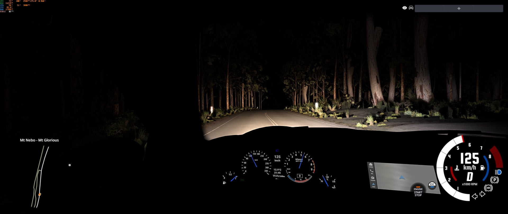
- Sodium street lamps, café lights and reflectors at night. The roadside trees stay 3D a long way out so your headlights light them up instead of them popping in.
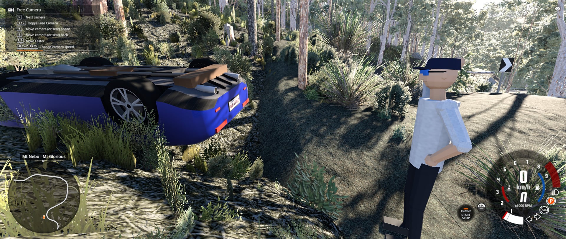
- Plenty of things to find. Some of the locals are a bit unusual. If you see firelight on the Goat Track, go quietly.
- It's a big map: about a 420 MB download and a longer first load while the game prepares the shapes. Later loads are quicker.
- It's dense forest, heavier on trees per view than the vanilla forest maps (lighter on grass). If your frame rate struggles, try a lower graphics preset first. Reports with your PC specs and where you were on the map help a lot.
- Queensland number plates.
This map is only published here on the BeamNG repository, by me (lucienstruckingandhaulage). Copies on other sites were re-uploaded without my permission and may be out of date or broken.
Please don't re-upload, repack or sell it, and don't put the map or any part of it (the road, terrain, buildings, signs or textures) into your own mod without asking me first. If I say yes, credit this map. The assets credited to B25Mitch below are his, so ask him about those.
Making your own map? Ask me anything about how this one was built. I'm happy to help you get yours looking good, just don't take mine.
Credits
Road, terrain and towns built from Queensland Government LiDAR and aerial imagery and OpenStreetMap data (© OpenStreetMap contributors). Lots of assets from B25Mitch's OG Brisbane mountain maps.
Found something off? Send me a message! I want you to have the best experience :]
External Download Links:
Direct Download Links
About Mod
| Latest Version | 2.03 |
| Game | BeamNG.drive |
| Category | Maps |
| Game Version | 0.40.x |
| Downloads | 426 |
| Created | 22 hours ago |



you really are the real MVP my dude. Love having the local in the game finally
@guest thank you bro :)
I will be keeping the official beam ng repo listing more up to date ok, that’s the place to go. Just uploading here cos I had an issue with someone stealing the map otherwise! Yo I’ll be doing mt mee and others soon too, look out for those ;)