ÎLE-DE-FRANCE MAP by Georges93 0.1.0a
4/5,
16
votes
Changelog
latest
Version
0.1.0a
· ÎLE-DE-FRANCE MAP by Georges93
· ETS 2
1.49.x
2 years ago
- Addition of the City of Chessy including Disneyland Paris (2 delivery zones) and its emergency center (1 delivery zone)
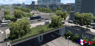
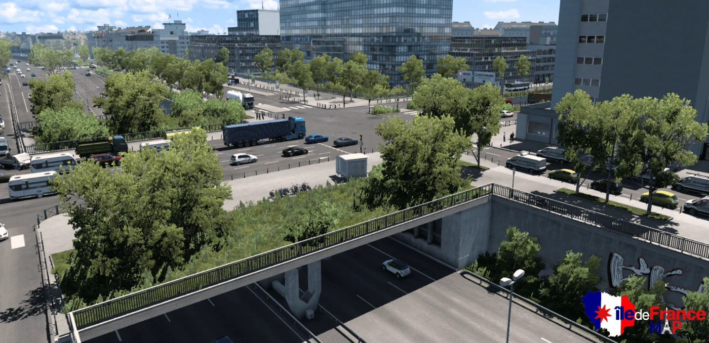
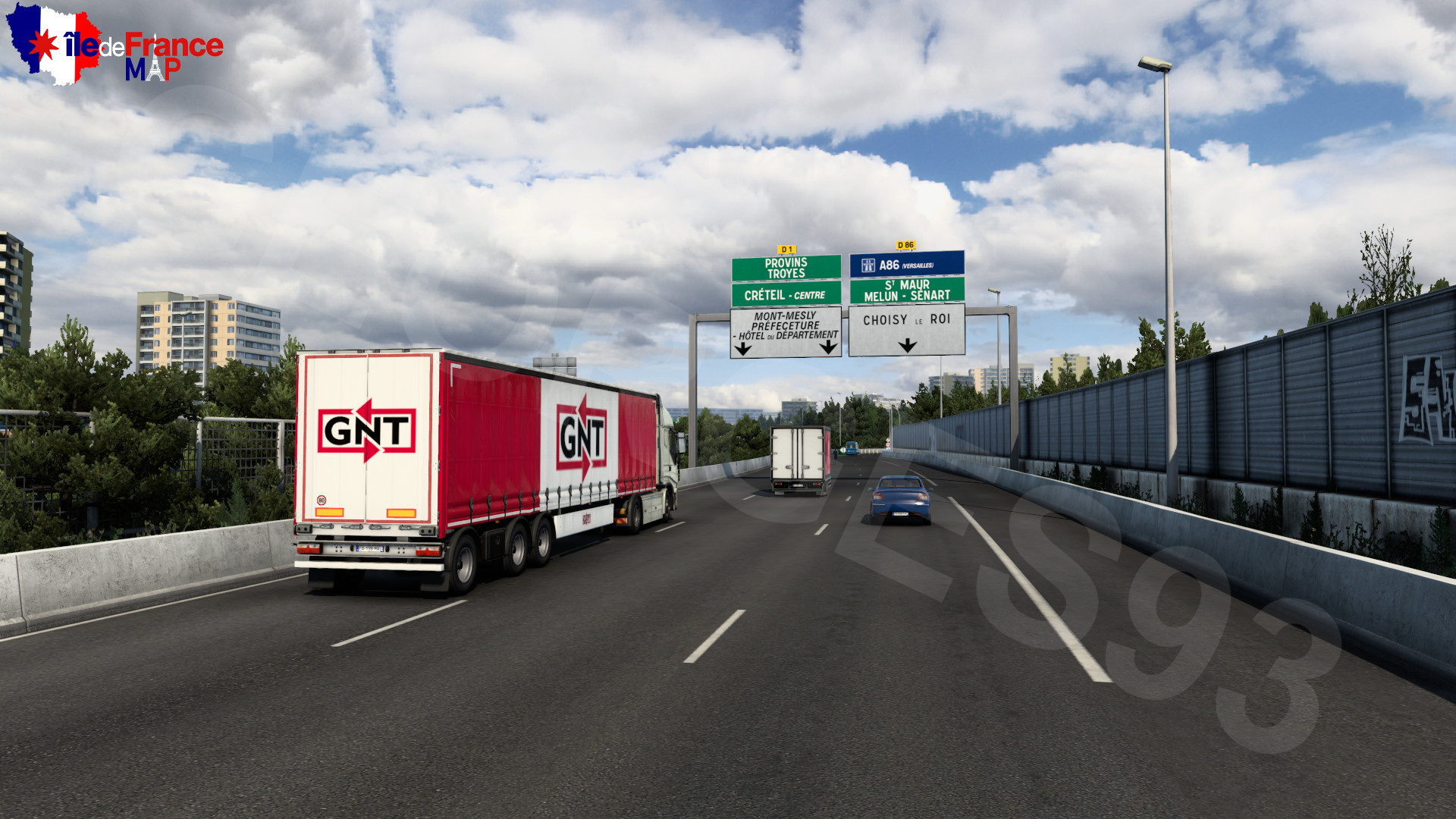
- Reconstruction of the ring road of Paris and its interchanges, from Porte de Montreuil to Porte de Bercy
- Added a small section of the Town of Bussy-Saint-Georges (including 2 deliverable companies as well as a repair shop and a Mercedes-Benz dealership
- Added a new deliverable company in Rosny-sous-Bois (Lidl)
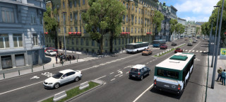
- Addition of metro stops in Paris
- Addition of 2 temporary truck purchasing zones (Scania & Volvo) while a dealer of these brands is added to the map
- Added custom trailer skins (by Rayen, Lumia and Yellow)
- Integration of new AI (by Rayen)
- Fixed the spawn of the correct tram trains depending on the line
- Changed the textures of the police pedestrians in the base game to represent the French National Police and the Gendarmerie (by Rayen)
- Added custom electronic destination sign for buses for lines available on the map. (Compatible with Solaris Urbino)
- Use "N" to use the bus gong horn sound (for bus mods)
- Adjusted the map economy
- Adjusted the traffic density of the map (Use the `g_traffic` command to adjust: `0.5` for the base traffic before this update, `1` for the recommended traffic, `3` for heavy traffic (maximum recommended))
- Fixed Krone and modded trailers not being able to take cargo
- Bugs fixes
Version
0.0.9b
· ÎLE-DE-FRANCE MAP by Georges93
· ETS 2
1.49.x
2 years ago
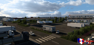

- Addition of the International Rungis Market (Market Home & Meat Products Sector)
- Addition of the 4th arrondissement of Paris (including Place de la Bastille, the Bercy - Seine Bus Station and 5 companies)
- Addition of the city of Saint-Maurice (including 1 company)
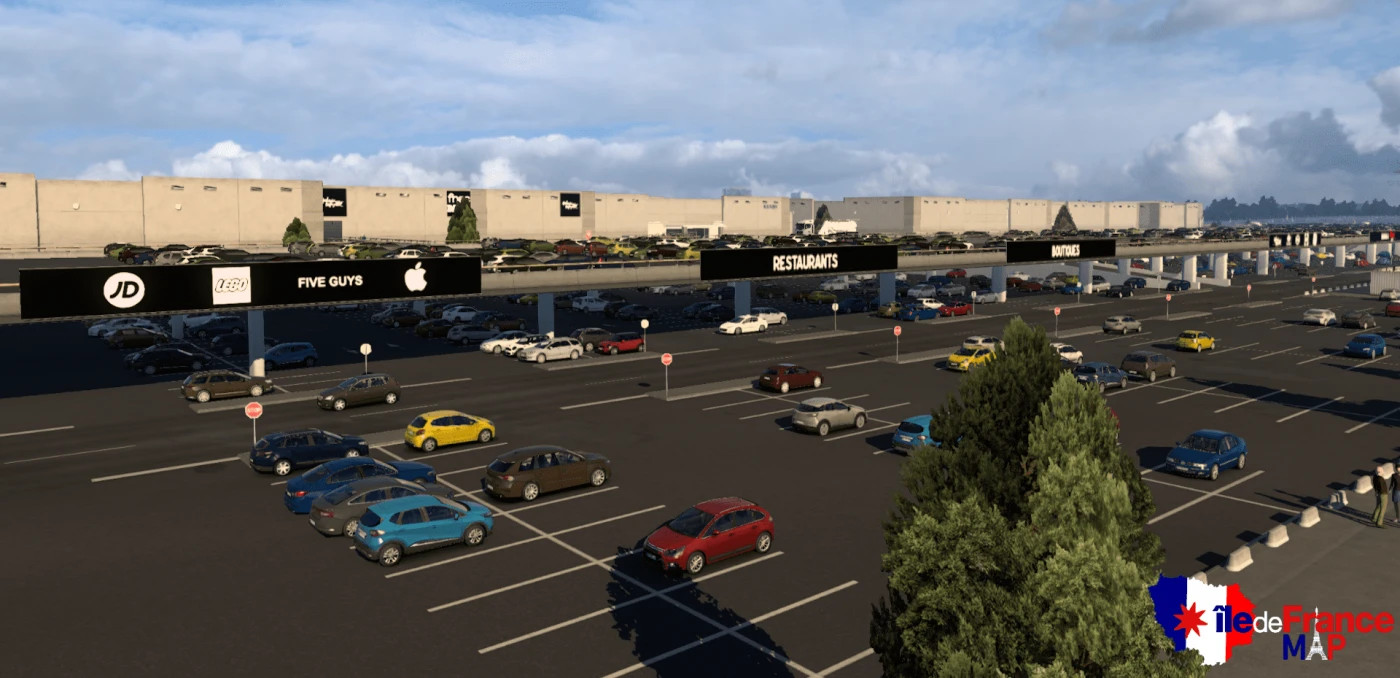
- Entire recreation of the north of the city of Rosny-sous-Bois and the west of Villemomble (including the addition of the Westifield Rosny 2 Shopping Center)
- Recreation of the A4 motorway (between Créteil and Paris)
- Added bus lines icons to bus stops (visible at maximum map zoom)
- Addition of a part of the city of Neuilly-Plaisance (including 2 company


Version
0.0.5
· Île-de-France Map
· ETS 2
1.46.x
3 years ago
- [+] Addition of the city of Créteil, specifically the Échat district.
-
[+]
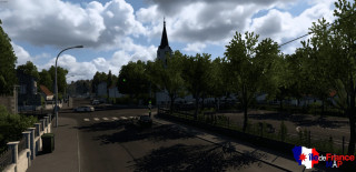
Addition of Villemomble city center.
- [+] Extension of the A4 to the town of Collégien.
- [+] Addition of country roads.
- [+] Added custom AI vehicles and decoration.
- [+] Custom Parisian traffic lights.
- [+] Added details in Paris.
- [+] Addition of the English translation of certain GPS messages for other languages (department change message...).
- [+] Fixed some bugs.
- [+] More than 22 km of roads added.
- [+] And much more !

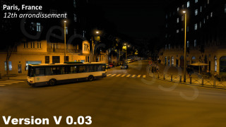
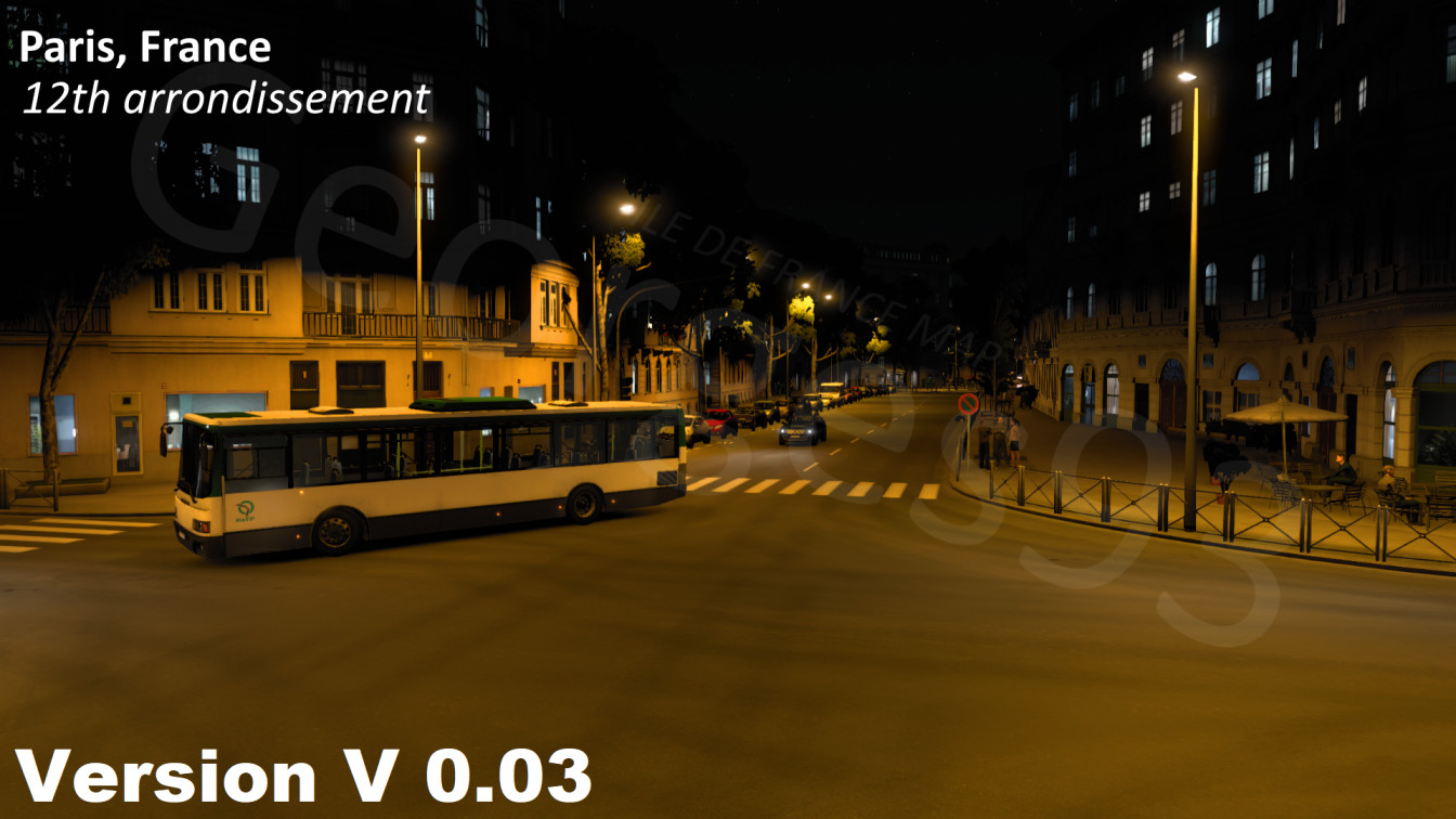
Version
0.03
· PARIS SUBURBS MAP V0.03 by Georges93
· ETS 2
1.45.x
3 years ago
_modland.jpg)
LAST UPDATE : V0.03
- [+] Added to this are the 12th and 20th arrondissements of Paris, which themselves comprise more than 5 kilometers combined of the interior of the city of Paris.
- [+] Added the city of Villiers-sur-Marne.
- [+] Added custom vehicles skins :
- RATP, IDFM, TransDev and RoissyBus bus
- Police Nationale, CRS and Gendarmerie vans
- More skins to discover in the map !
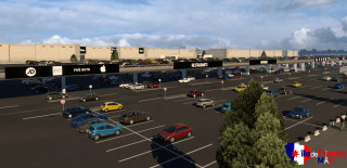
- [+] Added DAF truck dealer in Paris.
- [+] Public transport buses (RATP/TransDev) stop at bus stops when they are on a bus lane.
- [+] Fixed randoms bugs :
- Removed randoms invisible walls on the map.
- Added missings streets lights.
- Fixed some console errors but a few remain for now.
- Fixed the bug that some cities were not discoverable.

-lg_modland.jpg)
Version
0.02
· ÎLE-DE-FRANCE MAP by Georges93
· ETS 2
1.44.x
3 years ago
- Update 0.02 :
- [+] Fixed major bug : removed invisible walls on highways (in A86, A3).
- [+] Added decorations, street lamps and missing bridges on A3.